Welcome!
As part of the OSGeo "Geo for All" initiative, we are building a community of open source geospatial software users here at LSU. Anyone is welcome to join, just get on our mailing list to get details ahead of each meeting.
If you are interested in showing your work, we'd love to have you give a short presentation.
Through the spring semester of 2021, we meet each Friday at 12:00pm (central time) for one hour. We alternate between facilitating GIs troubleshooting and help sessions with presentations. We record and post presenations here, for future viewing.
Past Presentations
Louisiana Department of Health (LDH) COVID-19 Dashboard
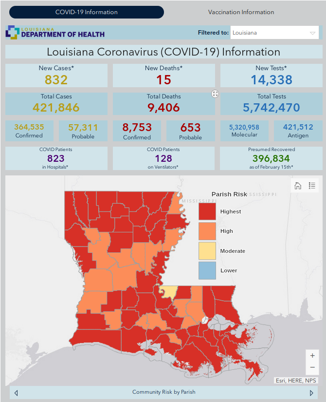
Andrew S. Berens, GISP, Population Health & Geospatial Analyst at Louisiana Department of Health, presents about the GIS dashboard he created in March 2020 to track COVID-19 across the state.
Hands On Data Viz - Google Sheets and Leaflet
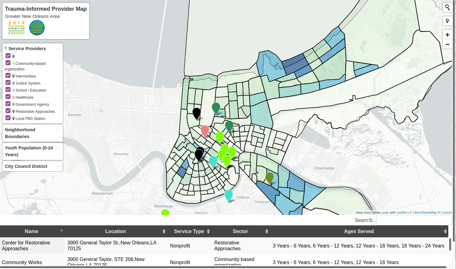
Adam presented a past project based on the tutorial and template for integrating Google Sheets and Leaflet at HandsonDataViz.org.
All About LSU Atlas
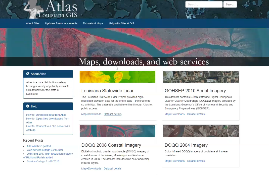
Luke Driskell from the Geography & Anthropology department gave a presentation about the LSU Atlas data portal that he maintains. video recording
OSM Missing Maps Mapathon
We are hosting three mapathons this week! On Wednesday (9:30am-11:30am), Thursday (12:00pm-1:00pm, normal meeting time), and Friday (9:30am-11:30am). Open Street Map is like the Wikipedia version of Google Maps, and, fun fact, Open Street Map base data is the core of many, many web mapping applications out in the world.
At these events, we’ll be working on a humanitarian mapping project like this one in response to Super Typhoon Rolly. All you need to do is sign up above, and we’ll e-mail you the information to get started.
If you want to get a head start, create a free account on Open Street Map and then watch videos 3 and 4 here.
Connecting to ArcGIS REST Services with QGIS
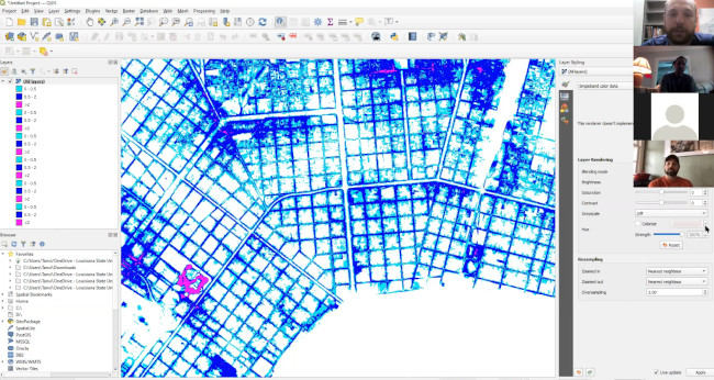
We went over how to connect to REST endpoints, and then found some new ones to explore. video recording
Using Python in GRASS GIS
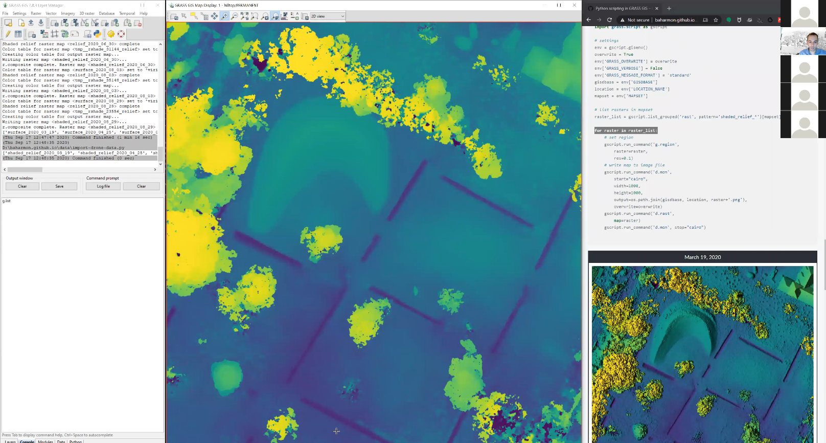
Brendan gave a great presentation about how to use Python in GRASS GIS to batch-process rasters. The layers he uses are from periodic drone flights over LSU’s Hilltop Arboretum, and you can see vegetation emerge from one image to the next. He also gives an overview of some basic Python syntax, including file path management and “for” loops.
You can follow along with this video on your own, just be sure to install GRASS GIS ahead of time, and go to Brendan’s website to download the example data.
Note: Sorry about the sloppy start to the video! Skip ahead to 00:20.
video recording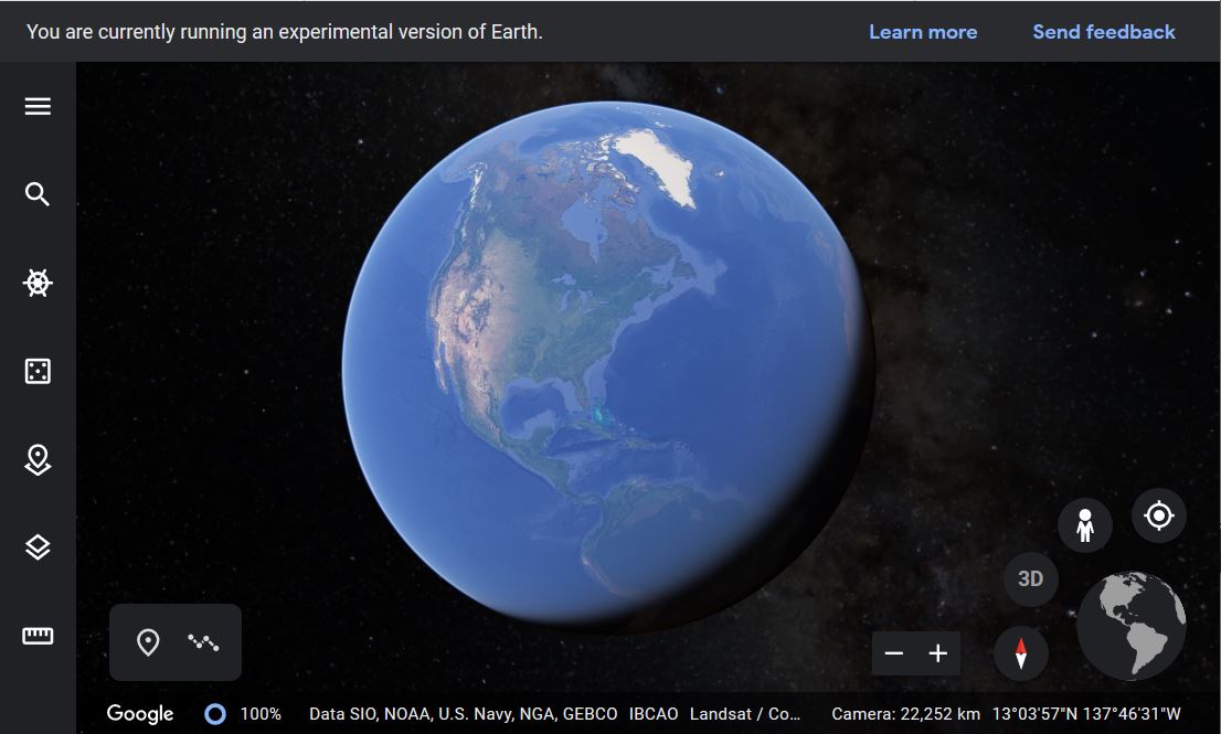
Wildlife Corridor Modeling for Giant Pandas
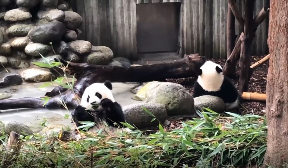
Tanvi and Andrew showed how they used GRASS to model wildlife corridors for a new national park in China. video recording
Python in QGIS - An Example
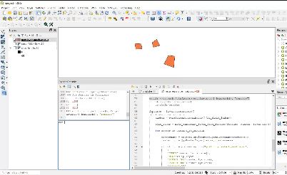
Adam shows how to write and run a Python script within QGIS. video recording
GitHub, Markdown, and Open Science
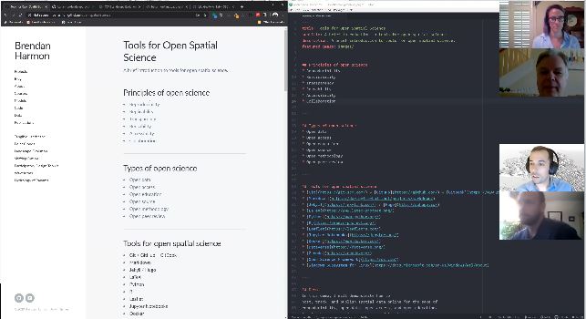
A presentation about open science and some of the most popular tools for it. video recording
Georeferencing Historical Maps with QGIS
Demonstration of how to georeference historical maps with QGIS. slideshow
Posts
-
First Meeting of 2020-2021
We started the year with introductions all around, and by taking a look back at the original presentation I had put together for our first meeting last semester....
-
Takeaways from the Spring 2020 Interest Survey
We sent out a survey via Google form at the end of last year, and here are the results....
-
It's Raining Officers!
Geo For All – LSU held its second meeting on Wednesday, February 5, in Design Building Room 308, and is well on its way to becoming a full-fledged student organization....
-
First Meeting = Success
We met in the Art and Design Building, room 308, on the well-decorated Landscape Architecture floor. We had a great mix of people, and enthusiasm is high....